| You are here: Kiko > PictureGalleries > TripToChapadaDiamantina2004Jul > PicsFromLapaosCave | Printable | topic end |
| Versão em Português |
Pictures from Lapão's Cave
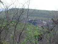
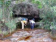
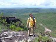
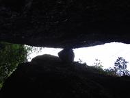
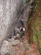
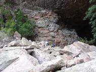
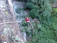
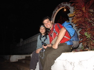
In the first and last day of our stay in Chapada Diamantina we explored Lapão's Cave, a mere 4km north of the city, although it translated to slightly more than an hour's walk... had we gotten it right the first time.
- See also: The City of Lençóis, The Cauldrons, Pratinha and the Blue Cove, The Enchanted Well, Miscellaneous
The Pictures
GPS tracks for getting there
- Download the track from Casarão Hotel to Lapão's Cave and back
This is a high-resolution track which we believe will be apropriate for guiding you through the way.
- Download a version with the other entrance of the cave
The path is in lower resolution, but it has a waypoint called "OtherSide" that shows the other entrance to the cave (actually, about 20m away from it, since we coulnd't get a GPS fix at that particular spot because the mountain was blocking the signal). It doesn't show all the detailed path to get there, though, but it's not too hard to find.
The files are in Odilon Junior's GPS Trackmaker format. You can use it to convert to anything you like. All tracks were created with a Garmin Rino 120 handheld radio/GPS unit.
The path starts and ends at the cemetery. We started going upwards through the road that leads to Calango's farm up to the beginning of the track. You can do this first part by truck (or your car, if you don't like it all that much). The rest has to be done by foot.
We'd love to hear you experience using those tracks, if they were actually useful in the field, if they're outdated somehow.
Planning and Precautions
If you're reasonably fit, the path is easy and it takes about an hour to get there. Don't bring anyone who has trouble moving through uneven terrain. Avoid doing it during the night unless you know what you're doing.
We didn't see any snakes, but they're rumored to be up there. We did see a few spiders, but we had no incidents with them. As long you're careful and don't do anything patently stupid, it's perfectly safe.
Using sunscreen is strongly recommended if you're not used to the sun.
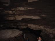
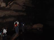
The cave is totally dark just 50m from the entrance. Bring a lantern, preferably those with a headmount. (Some stores at Lençóis sell those, in case you forgot to get one in advance).
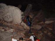
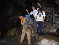
The cave is reasonably dangerous because it's made entirely of large blocks of sharp, pointy rocks. Move slowly, taking care of your balance and studying the effects of your movements. Some stones are loose. As you can see in the pictures, my pants got nearly ripped apart because while I slipped through large inclined stone. We did get a few minor bruises -- nothing that band-aids couldn't handle. But a fall from more than a few centimeters can be very serious.
When in the cave, go through the obvious way "straight" ahead way unless you know what you're doing or you had extra precautions not to get lost. There are secondary paths that lead to a labyrinth-like part. Although we had little trouble getting back from where we went, we did hear stories of people who got lost there and took a few days to be found.
The exit to the other side is a bit hard to find from inside the cave without a guide. We didn't find it the first day and it did take two of us a couple of hours to find it. It's through a pretty narrow crevice that's not hard to miss. After we got out, we marked the first point we got a GPS fix for; you have this point in the second GPS track file above; it may be easier to do the cave in reverse.
